Class 11 Geography Chapter 5 Topographical Maps Solution
Class 11 Geography Chapter 5 Topographical Maps Solution
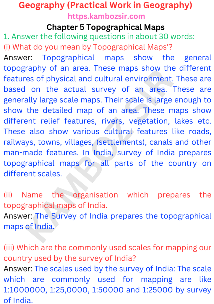
In Chapter 5 of Class 11 Geography, we delve into the fascinating world of topographical maps. Topographical maps are essential tools for understanding and representing the physical features of the Earth’s surface in a detailed and accurate manner.
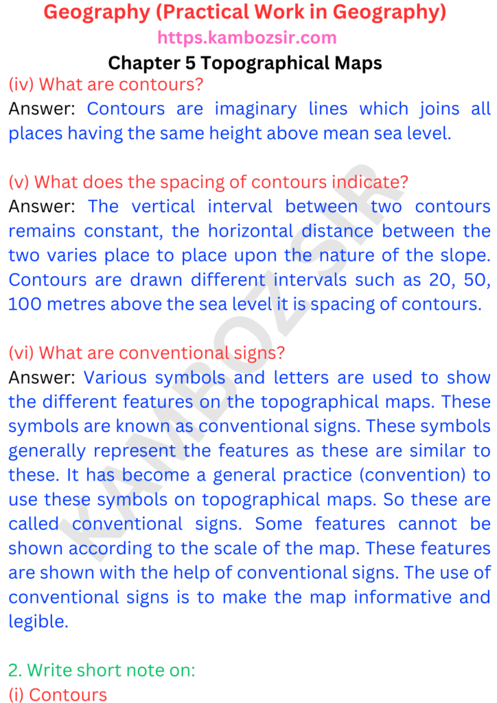
We begin by understanding the concept of topography, which refers to the physical features of the Earth’s surface, such as mountains, valleys, rivers, and plains. Topographical maps are designed to depict these features through the use of contour lines, which represent the elevation and shape of the land.
Next, we explore the components of a topographical map. We learn about the key elements, including contour lines, which connect points of equal elevation and help visualize the shape of the land. We also study the various symbols and markings used to represent natural and human-made features such as forests, roads, railways, buildings, and water bodies.


