Class 11 Geography Chapter 2 Map Scale Solution
Class 11 Geography Chapter 2 Map Scale Solution
In Chapter 2 of Class 11 Geography, we explore the concept of map scale and its importance in understanding the relationship between the distances on a map and the actual distances on the Earth’s surface.
We begin by understanding what map scale represents. Map scale refers to the ratio or relationship between the measurements on a map and the corresponding measurements on the ground. It helps us determine the size and relative distances of various features represented on a map.
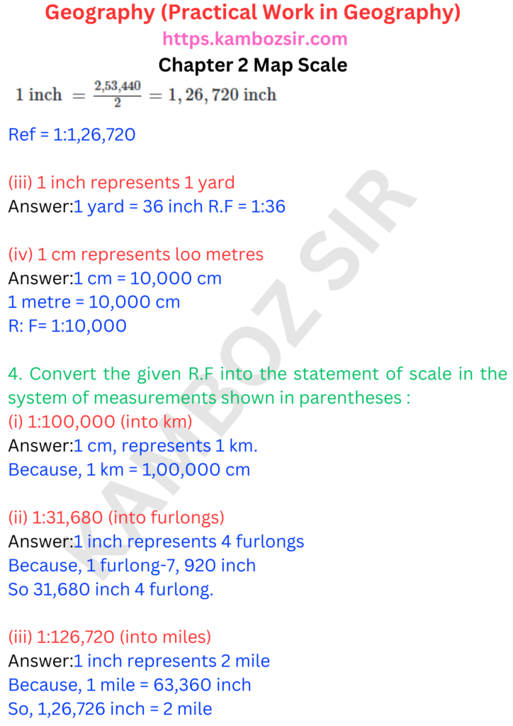
Next, we learn about the different types of map scales. There are three common types: verbal scale, graphic scale, and representative fraction. Verbal scale describes the scale in words, such as “1 centimetre represents 1 kilometre.” Graphic scale uses a line or bar with marked distances to represent the scale, while representative fraction (RF) provides a numerical ratio, such as 1:50,000, where one unit on the map represents a certain number of units on the ground.


